| Sion Farm | |
| Subdistrito | |
| Teritoryo | |
|---|---|
| Distrito | Saint Croix Island |
| Gitas-on | 122 m (400 ft) |
| Tiganos | 17°44′57″N 64°44′46″W / 17.74906°N 64.7462°W |
| Timezone | AST (UTC-4) |
| GeoNames | 9252021 |
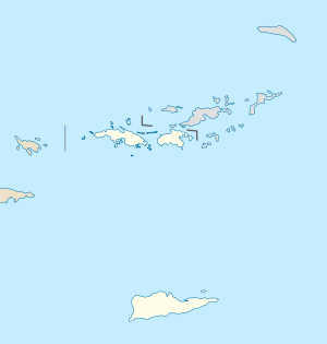
Subdistrito ang Sion Farm sa Amerikanhong Kapupud-ang Birgyin (Tinipong Bansa).[1] Nahimutang ni sa distrito sa Saint Croix Island, sa habagatang bahin sa nasod, 70 km sa habagatan sa Charlotte Amalie ang ulohan sa nasod. Ang Sion Farm nahimutang sa pulo sa Saint Croix Island.[saysay 1]
Sa mosunod nga mga natural nga mga bahin makita sa Sion Farm:
- Cathys Fancy Beach (lapyahan)
- Constitution Hill (bungtod)
- Cormorant Beach (lapyahan)
- Cormorant Beach Club (lapyahan)
- Judith Hill (bukid)
- Judiths Fancy Beach (lapyahan)
- Kaserne Hill (bukid)
- Pelican Cove Beach (lapyahan)
- ↑ Cite error: Invalid
<ref>tag; no text was provided for refs namedgn9252021 - ↑ Cite error: Invalid
<ref>tag; no text was provided for refs namedvp
Cite error: <ref> tags exist for a group named "saysay", but no corresponding <references group="saysay"/> tag was found

