| Taumulimalo Stream | |
| Suba | |
| Teritoryo | Plantilya:Country data Amerikanhong Samowa, |
|---|---|
| Distrito | Western District |
| Gitas-on | 210 m (689 ft) |
| Tiganos | 14°17′53″S 170°48′11″W / 14.29806°S 170.80306°W |
| Timezone | SST (UTC-11) |
| GeoNames | 5881146 |
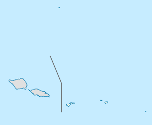
Suba ang Taumulimalo Stream sa Amerikanhong Samowa (Tinipong Bansa).[1] Nahimutang ni sa distrito sa Western District, sa kasadpang bahin sa nasod, 11 km sa kasadpan sa Pago Pago ang ulohan sa nasod. Ang Taumulimalo Stream nahimutang sa pulo sa Tutuila Island.[saysay 1]
- ↑ Cite error: Invalid
<ref>tag; no text was provided for refs namedgn5881146 - ↑ Cite error: Invalid
<ref>tag; no text was provided for refs namedvp
Cite error: <ref> tags exist for a group named "saysay", but no corresponding <references group="saysay"/> tag was found

