| Thittet Chaung | |
| Suba | |
| Nasod | |
|---|---|
| Rehiyon | Mandalay Region |
| Gitas-on | 68 m (223 ft) |
| Tiganos | 20°59′19″N 94°51′54″E / 20.98854°N 94.865°E |
| Timezone | MMT (UTC+6:30) |
| GeoNames | 1291259 |
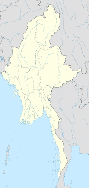
Suba ang Thittet Chaung sa Burma.[1] Nahimutang ni sa rehiyon sa Mandalay Region, sa sentro nga bahin sa nasod, 190 km sa amihanan-kasadpan sa Nay Pyi Taw ang ulohan sa nasod. Ang Thittet Chaung mao ang bahin sa tubig-saluran sa Irrawaddy River.
- ↑ Cite error: Invalid
<ref>tag; no text was provided for refs namedgn1291259

