| Vesteciapata Pampa | |
| Patag | |
| Nasod | |
|---|---|
| Departamento | Departamento de Oruro |
| Gitas-on | 3,774 m (12,382 ft) |
| Tiganos | 18°54′38″S 67°38′16″W / 18.91044°S 67.63775°W |
| Timezone | BOT (UTC-4) |
| GeoNames | 3901745 |
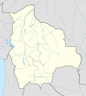
Patag ang Vesteciapata Pampa sa Bolibiya.[1] Nahimutang ni sa departamento sa Departamento de Oruro, sa habagatan-kasadpang bahin sa nasod, 250 km sa kasadpan sa Sucre ang ulohan sa nasod.
Hapit nalukop sa [[kalibonan ang palibot sa Vesteciapata Pampa.[2] Dunay mga 3 ka tawo kada kilometro kwadrado sa palibot sa Vesteciapata Pampa may kaayo gamay nga populasyon.[3] Ang klima bugnaw nga ugahon.[4] Ang kasarangang giiniton 12 °C. Ang kinainitan nga bulan Nobiyembre, sa 18 °C, ug ang kinabugnawan Hulyo, sa 5 °C.[5] Ang kasarangang pag-ulan 545 milimetro matag tuig. Ang kinabasaan nga bulan Enero, sa 181 milimetro nga ulan, ug ang kinaugahan Hulyo, sa 7 milimetro.[6]
- ↑ Cite error: Invalid
<ref>tag; no text was provided for refs namedgn3901745 - ↑ Cite error: Invalid
<ref>tag; no text was provided for refs namednasalandcover - ↑ Cite error: Invalid
<ref>tag; no text was provided for refs namednasapop - ↑ Cite error: Invalid
<ref>tag; no text was provided for refs namedkoppen - ↑ Cite error: Invalid
<ref>tag; no text was provided for refs namednasa - ↑ Cite error: Invalid
<ref>tag; no text was provided for refs namednasarain

