Back Шарко (востраў) Byelorussian Шарко (остров) Bulgarian Illa Charcot Catalan Charcot Island CEB Charcotův ostrov Czech Ynys Charcot Welsh Charcot Island English Isla Charcot Spanish Île Charcot French Illa Charcot Galician
| Charcot-Insel
| ||
|---|---|---|
 | ||
| Gewässer | Bellingshausen-See (Südlicher Ozean) | |
| Geographische Lage | 69° 58′ S, 75° 5′ W | |
|
| ||
| Länge | 48 km | |
| Breite | 40 km | |
| Fläche | ca. 1500 km² | |
| Höchste Erhebung | Mount Monique 1000 m | |
| Einwohner | unbewohnt | |
 | ||


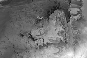
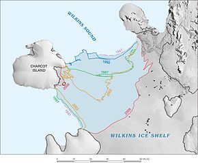
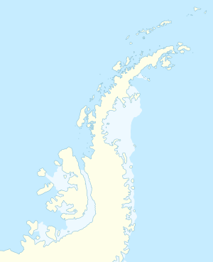
Die Charcot-Insel (auch Charcotland) ist eine Insel in der Antarktis 100 km westlich der Alexander-I.-Insel in der Bellingshausen-See.
