Back جبل دانسكيتيندين ARZ Dansketinden English دانسکیتیندن Persian Dansketinden LLD Dansketinden Dutch Данскетинден Ukrainian
| Dansketinden | ||
|---|---|---|
| Höhe | 2842 m | |
| Lage | Scoresby Land, Grönland | |
| Gebirge | Stauning Alper | |
| Dominanz | 163,96 km → Petermann Bjerg[1] | |
| Schartenhöhe | 2257 m | |
| Koordinaten | 72° 7′ 30″ N, 24° 57′ 18″ W | |
|
| ||
| Gestein | Granit[2] | |
| Erstbesteigung | 5. August 1954 durch John Haller, Wolfgang Diehl und Fritz Hans Schwarzenbach | |
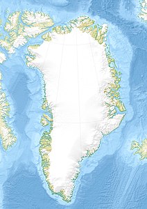
Dansketinden ist ein grönländischer Berg im Nordost-Grönland-Nationalpark.
- ↑ Dansketinden auf Peakbagger.com (englisch)
- ↑ Colwyn Jones: Expedition Report, The Scottish Mountaineering Club, Greenland Expedition 1996, North East Greenland National Park, The Stauning Alps. 1996, S. 48 (Online [PDF]).
