Back هيبرون (كونيتيكت) Arabic هيبرون ARZ Гиброн (Коннектикут) CE Hebron (lungsod sa Tinipong Bansa, Connecticut) CEB Hebron, Connecticut Welsh Hebron, Connecticut English Hebron (Connecticut) Spanish Hebron (Connecticut) Basque Hebron (Connecticut) French Hebron, Connecticut HT
| Hebron | ||
|---|---|---|
 | ||
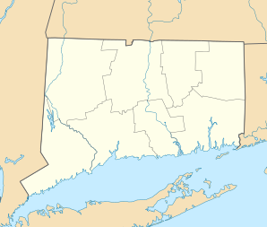
| Lage in Connecticut | ||
|
| ||
| Basisdaten | ||
| Gründung: | 1704 | |
| Staat: | Vereinigte Staaten | |
| Bundesstaat: | Connecticut | |
| County: | Tolland County | |
| Koordinaten: | 41° 39′ N, 72° 23′ W | |
| Zeitzone: | Eastern (UTC−5/−4) | |
| Einwohner: | 9.098 (Stand: 2020) | |
| Haushalte: | 3.603 (Stand: 2020) | |
| Fläche: | 96,6 km2 (ca. 37 mi²) davon 95,6 km2 (ca. 37 mi²) Land | |
| Bevölkerungsdichte: | 95 Einwohner je km2 | |
| Höhe: | 154 m | |
| Postleitzahlen: | 06231, 06248 | |
| Vorwahl: | +1 860 | |
| FIPS: | 09-37910 | |
| GNIS-ID: | 0213445 | |
| Website: | www.hebronct.com | |
Hebron ist eine US-amerikanische Stadt im Tolland County des US-Bundesstaats Connecticut.
Sie hat etwa 9.100 Einwohner (Stand: 2004). Das Stadtgebiet hat eine Größe von 96,5 km².
Der National Park Service weist für Hebron zwei Einträge im National Register of Historic Places (NRHP) aus (Stand 12. November 2018), der Hebron Center Historic District und das Augustus Post House.[1]
- ↑ Suchmaske Datenbank im National Register Information System. National Park Service, abgerufen am 12. November 2018.
