Back Islip (parokya sa Hiniusang Gingharian, Inglatera, Oxfordshire) CEB Islip, Oxfordshire English Islip (Oxfordshire) Esperanto Islip (Oxfordshire) Spanish آیلیپ، آکسفوردشر Persian Islip (Oxfordshire) French Islip (Oxfordshire) Italian Islip (Oxfordshire) LLD Islip (Oxfordshire) Dutch Islip (Oxfordshire) NB
| Islip | ||
|---|---|---|
 | ||
| Staat: | ||
| Koordinaten | 51° 49′ N, 1° 14′ W | |
| OS National Grid | SP5214 | |
|
| ||
| Traditionelle Grafschaft | Oxfordshire | |
| Einwohner | 652 (Stand: 2011) | |
| Fläche | 6,42 km² (2,48 mi²) | |
| Bevölkerungsdichte: | 102 Einw. je km² | |
| Verwaltung | ||
| Post town | KIDLINGTON | |
| Postleitzahlenabschnitt | OX5 | |
| Vorwahl | 01865 | |
| Landesteil | England | |
| Region | South East England | |
| Shire county | Oxfordshire | |
| District | Cherwell | |
| Britisches Parlament | Henley | |
| Website: Islip | ||
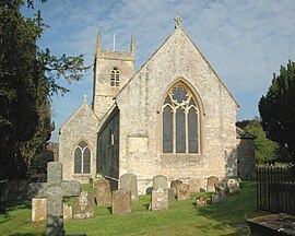
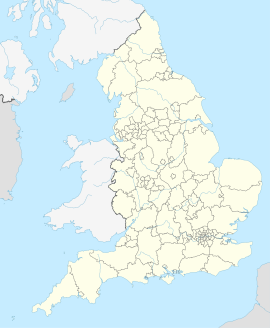
Islip ist ein Dorf und eine Gemeinde in Oxfordshire in England. Es liegt beim Zusammenfluss des Flusses Ray mit dem Fluss Cherwell. Es liegt etwa 3 km östlich von Kidlington und 8 km nördlich von Oxford. Bei der Volkszählung 2011 wurde eine Einwohnerzahl von 652 ermittelt.[1]
- ↑ Islip Parish. Abgerufen am 15. Juli 2021.
