Back Kilmartin English Kilmartin Basque کیلمارتین Persian Kilmartin French Cille Mhàrtainn Irish Cille Mhàrtainn Scots/Gaelic Kilmartin (Argyll e Bute) Italian Kilmartin Swedish
| Kilmartin schottisch-gälisch Cille Mhàrtainn | ||
|---|---|---|
| Staat: | ||
| Koordinaten | 56° 8′ N, 5° 29′ W | |
|
| ||
| Traditionelle Grafschaft | Argyll | |
| Verwaltung | ||
| Post town | LOCHGILPHEAD | |
| Postleitzahlenabschnitt | PA31 | |
| Vorwahl | 01546 | |
| Landesteil | Schottland | |
| Council area | Argyll and Bute | |
| Britisches Parlament | Argyll and Bute | |
| Schottisches Parlament | Argyll and Bute | |
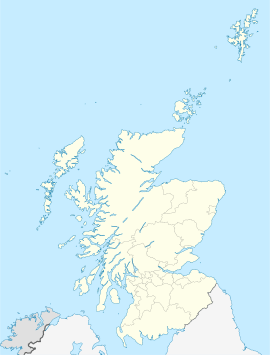
Das Dorf Kilmartin, schottisch-gälisch Cille Mhàrtainn,[1] liegt nahe der Westküste Schottlands in der Council Area Argyll and Bute, der ehemaligen Grafschaft Argyll. Es erstreckt sich zwischen Lochgilphead im Süden und Ardfern sowie Kintraw im Norden. Die Ortschaft ist der Mittelpunkt des Kilmartin Glen, dem Tal, das das Dorf weiträumig umgibt.

