Back Leswalt English Leswalt Basque Leswalt French Lios Uillt Irish Lios Uillt Scots/Gaelic Leswalt SCO
| Leswalt | ||
|---|---|---|
 | ||
| Staat: | ||
| Koordinaten | 54° 56′ N, 5° 6′ W | |
|
| ||
| Traditionelle Grafschaft | Wigtownshire | |
| Verwaltung | ||
| Post town | STRANRAER | |
| Postleitzahlenabschnitt | DG9 | |
| Vorwahl | 01776 | |
| Landesteil | Scotland | |
| Council area | Dumfries and Galloway | |
| Britisches Parlament | Dumfries and Galloway | |
| Schottisches Parlament | Galloway and Upper Nithsdale | |
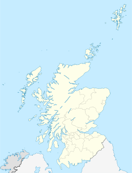
Leswalt ist eine Ortschaft in der schottischen Council Area Dumfries and Galloway. Sie liegt rund fünf Kilometer nordwestlich von Stranraer auf der Halbinsel Rhins of Galloway in der traditionellen Grafschaft Wigtownshire. Rund 1,5 Kilometer östlich schneidet sich die Bucht Loch Ryan bis Stranraer in die Landmasse.[1]
