Back مينيكاف ARZ Minnigaff English Minnigaff Basque Minnigaff French Muine Gobha Scots/Gaelic Minnigaff SCO
| Minnigaff | ||
|---|---|---|
 | ||
| Staat: | ||
| Koordinaten | 54° 58′ N, 4° 29′ W | |
|
| ||
| Traditionelle Grafschaft | Kirkcudbrightshire | |
| Verwaltung | ||
| Post town | NEWTON STEWART | |
| Postleitzahlenabschnitt | DG8 | |
| Vorwahl | 01671 | |
| Landesteil | Scotland | |
| Council area | Dumfries and Galloway | |
| Britisches Parlament | Dumfries and Galloway | |
| Schottisches Parlament | Galloway and Upper Nithsdale | |
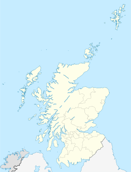
Minnigaff ist eine Ortschaft in der schottischen Council Area Dumfries and Galloway. Sie ist nur durch den Cree von Newton Stewart getrennt und geht im Süden nahtlos in die Nachbargemeinde Creebridge über. Minnigaff liegt am Westrand der traditionellen Grafschaft Kirkcudbrightshire. Am rechten Ufer des Grenzflusses Cree beginnt die Grafschaft Wigtownshire. In Minnigaff mündet der Penkiln Burn in den Cree.[1][2]
- ↑ Eintrag im Gazetteer for Scotland
- ↑ Minnigaff, in: F. H. Groome: Ordnance Gazetteer of Scotland: A Survey of Scottish Topography, Statistical, Biographical and Historical, Grange Publishing, Edinburgh 1885.
