Back Moho Tani AST Moho Tani Catalan Mohotani CEB Mohotani English Moho Tani Esperanto Moho Tani Spanish Moho Tani Finnish Moho Tani French Moho Tani Galician Moho Tani Italian
| Mohotane (Molopu)
| ||
|---|---|---|
 | ||
| Gewässer | Pazifischer Ozean | |
| Inselgruppe | Marquesas | |
| Geographische Lage | 10° 0′ S, 138° 50′ W | |
|
| ||
| Länge | 7,2 | |
| Breite | 1,9 | |
| Fläche | 13 km² | |
| Höchste Erhebung | (unbenannt) 520 m | |
| Einwohner | unbewohnt | |
 | ||
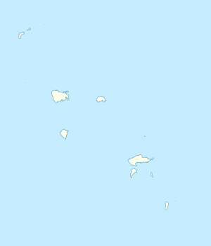
Mohotane, auch Mohotani, Moho Tani, Motane, seltener Molopu, alte Namen: San Pedro, Onateayo,[1] ist eine unbewohnte Insel im östlichen Pazifischen Ozean, die geografisch zum Archipel der Marquesas in Französisch-Polynesien gehört und politisch zur Gemeinde Hiva Oa, Teilgemeinde (Commune associée) Atuona.[2]
