Back جزيرة فوكلاند الشرقية Arabic Şərqi Folklend Azerbaijani Ostfalkland BAR Illa Soledad Catalan East Falkland CEB East Falkland Danish East Falkland English Soledad Esperanto Isla Soledad Spanish Ida-Falkland Estonian
| Ostfalkland
| |
|---|---|
 | |
| Gewässer | Südatlantik |
| Inselgruppe | Falklandinseln |
| Geographische Lage | 51° 48′ S, 58° 47′ W |
 | |
| Fläche | 6 605 km² |
| Höchste Erhebung | Mount Usborne 705 m |
| Einwohner | 2197 (2001) <1 Einw./km² |
| Hauptort | Stanley |
 | |
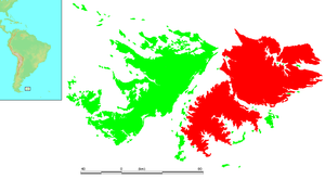
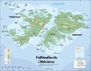
Ostfalkland (englisch East Falkland, spanisch Isla Soledad) ist mit 6.605 km² die größte der im Südatlantik gelegenen Falklandinseln. Die Insel wird durch den Falklandsund von ihrer Schwesterinsel Westfalkland getrennt.