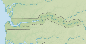
| Sapu Island
| ||
|---|---|---|
 Der Gambia fließt hier im Bildausschnitt in westlicher Richtung. | ||
| Gewässer | Gambia (Fluss) | |
| Geographische Lage | 13° 32′ 47″ N, 14° 51′ 50″ W | |
|
| ||
| Länge | 1,1 km | |
| Breite | 340 m | |
| Einwohner | unbewohnt | |
Sapu Island ist eine Binneninsel im Gambia-Fluss im westafrikanischen Staat Gambia.[1]
- ↑ Stephen C. Stringall, Dody Broyles: Gambia. International Travel Maps, Vancouver 2003, ISBN 1-55341-217-6 (Landkarte, 96 × 61 cm, 1:350.000)

