Back Southampton-eiland Afrikaans جزيرة ساوثهامبتون Arabic Islla de Southampton AST Sauthempton (ada) Azerbaijani Саутгемптон (утрау) Bashkir Саўтгемптан (востраў) Byelorussian Саутхамптън (остров) Bulgarian Enez Southampton Breton Illa Southampton Catalan Southampton Island CEB
| Southampton Island
| ||
|---|---|---|
 | ||
| Gewässer | Hudson Bay | |
| Geographische Lage | 64° 30′ N, 84° 30′ W | |
|
| ||
| Länge | 355 km | |
| Breite | 252 km | |
| Fläche | 41.214 km² | |
| Höchste Erhebung | Mathiasen Mountain 625 m | |
| Einwohner | 834 (2011) <1 Einw./km² | |
| Hauptort | Coral Harbour | |
 | ||
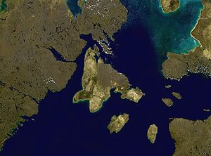
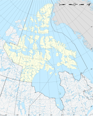
Southampton Island (Inuktitut: Salliq) ist eine Insel im Norden Kanadas. Sie ist Teil des kanadischen Territoriums Nunavut und gehört zur Kivalliq-Region.
Während in Nunavut im Sommer grundsätzlich die Sommerzeit gilt, gilt auf Southampton Island ganzjährig die Eastern Standard Time.

