Back Saint George Island (pulo sa Tinipong Bansa, Florida) CEB Νήσος Αγίου Γεωργίου (Φλόριντα) Greek St. George Island (Florida) English Île Saint Georges French آیلند سنت جؤرج (فلؤريدا) GLK سینٹ جارج جزیرہ (فلوریڈا) Urdu 聖喬治島 (佛羅里達州) Chinese
| St. George Island
| |
|---|---|
 | |
| Gewässer | Golf von Mexiko |
| Geographische Lage | 29° 39′ N, 84° 53′ W |
| Länge | 48 km |
| Breite | 1,6 km |
| Höchste Erhebung | 3,6 m |
| Einwohner | 990 |
| St. George Island | ||
|---|---|---|
|
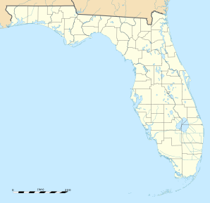
Lage in Florida
| ||
| Basisdaten | ||
| Staat: | Vereinigte Staaten | |
| Bundesstaat: | Florida | |
| County: | Franklin County | |
| Koordinaten: | 29° 39′ N, 84° 53′ W | |
| Zeitzone: | Eastern (UTC−5/−4) | |
| Einwohner: | 990 (Stand: 2020) | |
| Fläche: | 34,4 km2 (ca. 13 mi²) davon 12,3 km2 (ca. 5 mi²) Land | |
| Bevölkerungsdichte: | 80 Einwohner je km2 | |
| FIPS: | 12-62650 | |
| GNIS-ID: | 2711817 | |
St. George Island ist eine Insel vor der Golfküste des US-Bundesstaats Florida. Sie gehört zum Franklin County. Der gleichnamige CDP hatte der Volkszählung von 2020 nach 990 Einwohner.
