| Temple schottisch-gälisch Baile nan Trodac | ||
|---|---|---|
 | ||
| Staat: | ||
| Koordinaten | 55° 49′ N, 3° 5′ W | |
|
| ||
| Traditionelle Grafschaft | Midlothian | |
| Einwohner | 94 (Zensus 1961)[1] | |
| Verwaltung | ||
| Post town | GOREBRIDGE | |
| Postleitzahlenabschnitt | EH23 | |
| Vorwahl | 01875 | |
| Landesteil | Scotland | |
| Council area | Midlothian | |
| Britisches Parlament | Midlothian | |
| Schottisches Parlament | Midlothian South, Tweeddale and Lauderdale | |
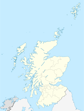
Temple, schottisch-gälisch: Baile nan Trodach[2], ist eine Ortschaft in der schottischen Council Area Midlothian. Das ländlich geprägte Temple liegt auf 185 m ü. NHN[3] am Südufer des South Esk im Zentrum Midlothians.[4] Die nächstgelegenen Städte sind Gorebridge (vier Kilometer nordöstlich), Bonnyrigg (sechs Kilometer nördlich) sowie das acht Kilometer westlich gelegene Penicuik.
- ↑ Zensusdaten 1961
- ↑ Informationen des schottischen Parlaments
- ↑ Temple. In: Francis H. Groome: Ordnance Gazetteer of Scotland: A Survey of Scottish Topography, Statistical, Biographical and Historical. Band 6: (Pet – Zet). Thomas C. Jack, Grange Publishing Works, Edinburgh u. a. 1885, S. 434.
- ↑ Temple. Midlothian. In: David Munro, Bruce Gittings: Scotland. An Encyclopedia of Places & Landscapes. Collins u. a., Glasgow 2006, ISBN 0-00-472466-6.

