Back Watford AN واتفورد Arabic واتفورد (بلده فى واتفورد) ARZ Uotford Azerbaijani Уотфорд Bashkir Уотфард Byelorussian Watford BS Watford Catalan Watford (lungsod sa Hiniusang Gingharian, Inglatera, Hertfordshire) CEB Watford Czech
| Borough of Watford | ||
|---|---|---|
 | ||
| Staat: | ||
| Koordinaten | 51° 39′ N, 0° 24′ W | |
|
| ||
| Traditionelle Grafschaft | County of Hertford | |
| Einwohner | 79.700 (Stand: 2007) | |
| Fläche | 21,43 km² (8,27 mi²) | |
| Bevölkerungsdichte: | 3719 Einw. je km² | |
| Verwaltung | ||
| Postleitzahlenabschnitt | WD | |
| Vorwahl | 01923 | |
| Landesteil | England | |
| Shire county | Hertfordshire | |
| ONS-Code | 26UK | |
| Website: www.watford.gov.uk | ||


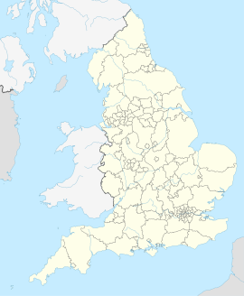
Watford [] ist eine Stadt in England in der Grafschaft Hertfordshire. Sie liegt an den Flüssen Colne und Gade, 32 km (21 mi) nordwestlich von London.
