Back ولینقبورو AZB Уелингбъроу Bulgarian Wellingborough Catalan Wellingborough CEB Wellingborough Welsh Wellingborough Danish Wellingborough English Wellingborough Spanish Wellingborough Basque ولینگبورو Persian
| Wellingborough | ||
|---|---|---|
 | ||
| Staat: | ||
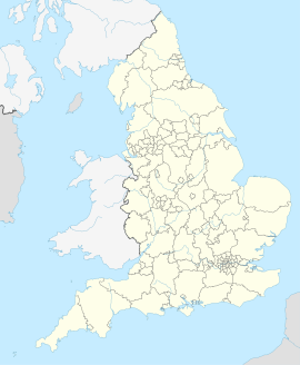
| Koordinaten | 52° 18′ N, 0° 42′ W | |
| OS National Grid | SP8967 | |
|
| ||
| Traditionelle Grafschaft | Northamptonshire | |
| Einwohner | 48.428 (Stand: 2001) | |
| Bevölkerungsdichte | ? Ew./km² | |
| Verwaltung | ||
| Post town | WELLINGBOROUGH | |
| Postleitzahlenabschnitt | NN8 NN9 | |
| Vorwahl | 01933 | |
| Landesteil | England | |
| Unitary authority | North Northamptonshire | |
| Website: www.wellingborough.gov.uk | ||
Wellingborough ist eine Stadt in der Unitary Authority North Northamptonshire in England und befindet sich rund 20 km östlich von Northampton in den East Midlands. Die Einwohnerzahl beträgt 48.428 (Stand: 2001). Wellingborough war von 1974 bis 2021 Verwaltungssitz des gleichnamigen Boroughs. Es liegt am nördlichen Ufer des Nene.
