Back وايت بلينز Arabic وايت بلينز ARZ وایت پلینز، جورجیا AZB Вайт-Плейнс (Джорджи) CE White Plains (lungsod sa Tinipong Bansa, Georgia) CEB White Plains, Georgia English White Plains (Georgia) Spanish White Plains (Georgia) Basque وایت پلینز، جورجیا Persian White Plains (Géorgie) French
| White Plains | ||
|---|---|---|
|
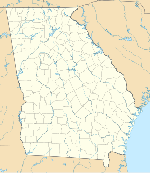
Lage in Georgia
| ||
| Basisdaten | ||
| Staat: | Vereinigte Staaten | |
| Bundesstaat: | Georgia | |
| County: | Greene County | |
| Koordinaten: | 33° 29′ N, 83° 2′ W | |
| Zeitzone: | Eastern (UTC−5/−4) | |
| Einwohner: | 239 (Stand: 2020) | |
| Haushalte: | 83 (Stand: 2020) | |
| Fläche: | 11,9 km2 (ca. 5 mi²) davon 11,9 km2 (ca. 5 mi²) Land | |
| Bevölkerungsdichte: | 20 Einwohner je km2 | |
| Höhe: | 211 m | |
| Postleitzahl: | 30678 | |
| Vorwahl: | +1 706 | |
| FIPS: | 13-82692 | |
| GNIS-ID: | 0356635 | |
White Plains ist eine City in Greene County im US-Bundesstaat Georgia in den Vereinigten Staaten. Nach einer offiziellen Schätzung 2006 hatte die Ortschaft eine Bevölkerung von 305 Einwohnern. Die Gemeindefläche beträgt 11,9 km².
