Back Ambohiby CEB Ambohiby-Massiv German Macizo de Ambohiby Spanish Gunung Ambohiby ID Massiccio dell'Ambohiby Italian Ambohiby Massif Malagasy
Ambohiby Massif
Andranomangatsiaka (Malagasy) | |
|---|---|
 The massif (lower right) as seen by the Landsat 7 satellite. | |
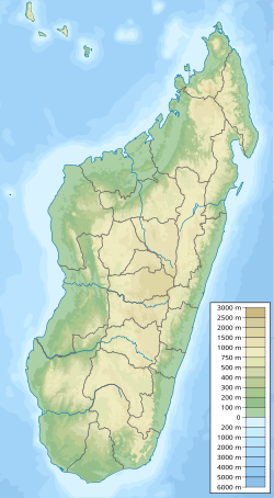
| Coordinates: 18°50′10″S 46°12′22″E / 18.836°S 46.206°E | |
| Location | Bongolava, Madagascar |
| Age | 90 million years (Late Cretaceous) |
| Formed by | Collapse caldera event due to tectonic separation of India and Madagascar. |
| Native name | Andranomangatsiaka (Malagasy) |
| Area | |
| • Total | 225 square kilometres (87 sq mi) |
| Dimensions | |
| • Height | 1,630 metres (5,350 ft)[1] |
Ambohiby Massif is an alkaline ring complex in Tsiroanomandidy District, Bongolava, Madagascar, which covers approximately 225 km2 (87 sq mi).[2]
The settlement of Anosibe Ambohiby, which has a population of about 300 Betsileo people, is located within the complex almost entirely isolated from the rest of the region; the closest settlement is the town of Antaniditra, 8 km (5.0 mi) away, and the nearest city, Tsiroanomandidy, is 18 km (11 mi) away.[3]
- ^ Cite error: The named reference
leandriwas invoked but never defined (see the help page). - ^ Cecilia Mukosi, Ndivhuwo (December 2012). Petrogenesis of the Ambohiby Complex, Madagascar and the Role of Marion Hotspot plume (Thesis). Stellenbosch University. doi:10.13140/RG.2.2.27096.80644.
- ^ Haubursin, Christophe (5 December 2023). "What's inside this crater in Madagascar?". Vox. YouTube. Retrieved 5 December 2023.
