Back Asirgarh Catalan Asirgarh-Fort German Aceyr-Ghor French અસીરગઢ કિલ્લો Gujarati असीरगढ़ Hindi アシールガル城 Japanese असीरगढ़ MAI ଅଶିରଗଡ ଦୁର୍ଗ OR اسیرگڑھ قلعہ Urdu
This article needs additional citations for verification. (June 2015) |
| Asirgarh Fort | |
|---|---|
| Burhanpur, Madhya Pradesh, India[1] | |
 Asirgarh Fort in 2013 | |
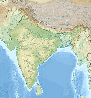
| Coordinates | 21°28′N 76°17′E / 21.47°N 76.29°E |
| Type | Hill fort |
| Site information | |
| Owner | Government of India |
| Open to the public | yes |
| Condition | Dilapidated |
| Site history | |
| Built by | Asa Ahir |
| Materials | Stone, limestone and lead |
| Garrison information | |
| Occupants | Faruqi dynasty->Mughal->Maratha->Holkars->Shinde->British |
Asirgarh Fort is an Indian fortress (qila) situated in the Satpura Range about 20 kilometres (12 mi) north of the city of Burhanpur, in the Indian state of Madhya Pradesh. The fort is said to date to the early 15th-century and commands a pass through the Satpuras connecting the valleys of the Narmada and Tapti rivers, one of the most important routes from northern India to the Deccan, it was known as the "key to the Deccan".[2][3]
- ^ "District Burhanpur". Government of Madhya Pradesh, India. 2023. Retrieved 19 October 2023.
- ^ Sarkar, Sir Jadunath (1957). Sir Jadunath Sarkar Commemoration Volumes: Life or letters of Sir Jadunath Sarkar. Department of History, Panjab University.
- ^ Indian History Congress. 1951.
