Bayt Thul
بيت ثول | |
|---|---|
| Etymology: The house of Tul (meaning length)[1] | |
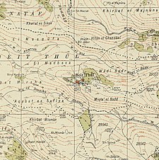
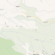
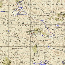
A series of historical maps of the area around Bayt Thul (click the buttons) | |
Location within Mandatory Palestine | |
| Coordinates: 31°49′21″N 35°04′26″E / 31.82250°N 35.07389°E | |
| Palestine grid | 157/136 |
| Geopolitical entity | Mandatory Palestine |
| Subdistrict | Jerusalem |
| Date of depopulation | Not known[4] April 1, 1948[5] |
| Area | |
• Total | 4,629 dunams (4.629 km2 or 1.787 sq mi) |
| Population (1945) | |
• Total | 260[2][3] |
| Current Localities | Nataf,[6] Neve Ilan[7] |
Bayt Thul was a Palestinian village in the Jerusalem Subdistrict. It was depopulated during the 1947–1948 Civil War in Mandatory Palestine on April 1, 1948, under Operation Nachshon. It was located 15.5 km west of Jerusalem.
- ^ Palmer, 1881, p. 287
- ^ Department of Statistics, 1945, p. 24
- ^ a b Government of Palestine, Department of Statistics. Village Statistics, April, 1945. Quoted in Hadawi, 1970, p. 56
- ^ Morris, 2004, p. xx, village #358. Gives both cause and date of depopulation as "Not known"
- ^ Palestine Remembered - Bayt Thul
- ^ Khalidi, 1992, p. 280
- ^ Close by, but on land traditionally belonging to Abu Ghosh, according to Khalidi, 1992, p. 290


