Back بيندر (مولدوفا) Arabic بيندر ARZ Benderı (Moldova) Azerbaijani Бендеры Bashkir Бендэр Byelorussian Бэндэры BE-X-OLD Бендери Bulgarian Bender Catalan Bender (kapital sa distrito sa Moldoba) CEB Tighina Czech
Bender
Tighina[1] | |
|---|---|
| |
 Municipality of Bender (in red) | |
 Bender located in Moldova | |
| Coordinates: 46°50′N 29°29′E / 46.833°N 29.483°E | |
| Country (de jure) | |
| Country (de facto) | |
| Founded | 1408 |
| Government | |
| • Head of the State Administration of Bendery | Nikolai Gliga[2] |
| Area | |
• Total | 97.29 km2 (37.56 sq mi) |
| Elevation | 15 m (49 ft) |
| Population (2015) | |
• Total | 91,000 |
| Time zone | UTC+2 (EET) |
| Climate | Cfb |
| Website | bendery-ga |
 | |
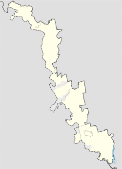
Bender ([benˈder], Moldovan Cyrillic: Бендер) or Bendery (Russian: Бендеры, [bʲɪnˈdɛrɨ]; Ukrainian: Бендери), also known as Tighina (Moldovan Cyrillic: Тигина), is a city within the internationally recognized borders of Moldova under de facto control of the unrecognized Pridnestrovian Moldavian Republic (Transnistria) (PMR) since 1992. It is located on the western bank of the river Dniester in the historical region of Bessarabia.
Together with its suburb Proteagailovca, the city forms a municipality, which is separate from Transnistria (as an administrative unit of Moldova) according to Moldovan law. Bender is located in the buffer zone established at the end of the 1992 War of Transnistria. While the Joint Control Commission has overriding powers in the city, Transnistria has de facto administrative control.
The fortress of Tighina was one of the important historic fortresses of the Principality of Moldova until 1812.
Cite error: There are <ref group=lower-alpha> tags or {{efn}} templates on this page, but the references will not show without a {{reflist|group=lower-alpha}} template or {{notelist}} template (see the help page).
- ^ Kaba, John (1919). Politico-economic Review of Basarabia. United States: American Relief Administration. pp. 14–15.
- ^ "Указ Президента ПМР №139 "О временно исполняющем обязанности главы государственной администрации города Бендеры"". Официальный сайт Президента ПМР.


