Back Buttermilk Channel (agianan sa Tinipong Bansa, New York) CEB Buttermilk Channel German Buttermilk Channel Estonian バターミルク水路 Japanese Buttermilk Channel Dutch Buttermilk Channel Portuguese


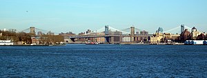
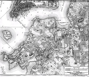
Buttermilk Channel is a small tidal strait in Upper New York Bay in New York City, approximately 1 mile (1.6 km) long and 0.25 miles (0.40 km) wide, separating Governors Island from Brooklyn. The channel is marked by a number of navigation aids (green cans no. 5 and 7 at the northeast entrance, and green gong no. 1, marking low water off the tip of Governors Island). Tidal currents on the channel are rather strong.