Back Formentera Afrikaans Formentera ALS Formentera AN فورمينتيرا Arabic فورمينتيرا ARZ Formentera AST فرمنترا AZB Фарментэра Byelorussian Форментера Bulgarian ফোরমেন্টেরা Bengali/Bangla
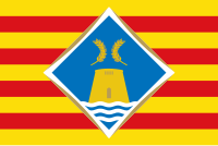
 Flag of Formentera | |
 Satellite view (2006) | |
| Geography | |
|---|---|
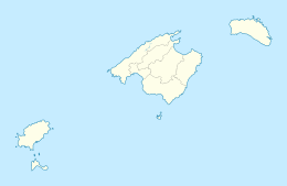
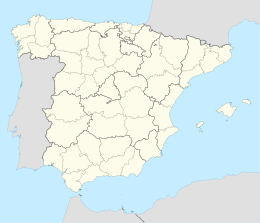
| Location | Mediterranean Sea |
| Coordinates | 38°42′N 1°27′E / 38.700°N 1.450°E |
| Archipelago | Pityuses, Balearic Islands |
| Area | 83.24 km2 (32.14 sq mi) |
| Highest elevation | 119 m (390 ft) |
| Highest point | La Mola |
| Administration | |
| Autonomous community | Balearic Islands |
| Largest settlement | Sant Francesc Xavier |
| Government | Island Council of Formentera |
| President | Òscar Portas (Sa Unió) |
| Demographics | |
| Population | 11,389 (Estimate 1 January 2023) |
| Pop. density | 136.8/km2 (354.3/sq mi) |
| Additional information | |
| Official languages: Catalan, Spanish | |
 | |

Formentera (Balearic Catalan: [fuɾmənˈteɾə], Spanish: [foɾmenˈteɾa]) is a Spanish island located in the Mediterranean Sea, which belongs to the Balearic Islands autonomous community (Spain) together with Mallorca, Menorca, and Ibiza.
Formentera is the smallest and most southerly island of the Pityusic Islands group (comprising Ibiza and Formentera itself, as well as various small islets). It covers an area of 83.24 square kilometres (32.14 sq mi), including offshore islets. At the 2011 Census, the population was 10,583; according to the Census of 1 January 2021,[1] it counted 11,891 inhabitants, while the official estimate as at 1 January 2023 was 11,389.[2]

