Back الحزام الكبير Arabic Böyük Kəmər Azerbaijani Вялікі Бельт Byelorussian Стурабелт Bulgarian Gran Belt Catalan Йоккха Бельт CE Storebælt (estretso sa Danismark) CEB Velký Belt Czech Storebælt Danish Großer Belt German
This article needs additional citations for verification. (June 2009) |
| Great Belt | |
|---|---|
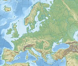
 Straits of Denmark and southwestern Baltic Sea. The Great Belt (labelled with its Danish name Storebælt) is slightly left of center | |
| Coordinates | 55°19′59″N 11°00′00″E / 55.333°N 11.000°E |
| Type | strait |
| Basin countries | Denmark |
| Max. length | 60 km (37 mi) |
| Max. width | 32 km (20 mi) |
| Min. width | 16 km (10 mi) |
| Max. depth | 60 m (197 ft) |
| Islands | Samsø in the north and Langeland to the south |
The Great Belt (Danish: Storebælt, pronounced [ˈstoːɐˌpelˀt]) is a strait between the major islands of Zealand (Sjælland) and Funen (Fyn) in Denmark. It is one of the three Danish Straits.
Effectively dividing Denmark in two, the Belt was served by the Great Belt ferries from the late 19th century until the islands were connected by the Great Belt Fixed Link in 1997–98.
