Greensborough | |
|---|---|
Unincorporated community | |
 Aerial view of Greensborough in 2024 | |
| Coordinates: 43°54′11″N 79°15′13″W / 43.9031°N 79.2536°W | |
| Country | Canada |
| Province | Ontario |
| Regional municipality | York |
| City | Markham |
| Population (2006 est.) | |
• Total | 5,000 |
| • Density | 30/km2 (70/sq mi) |
| Census Tract Number 5350403.03 | |
| Time zone | UTC-5 (EST) |
| • Summer (DST) | UTC-4 (EDT) |
| Forward sortation area | |
| Area code(s) | 905 and 289 |
Greensborough (2006 population estimated 5,000)[1] (Census Tract Number 5350403.03) is a community in the city of Markham in the Regional Municipality of York in the Canadian province of Ontario.
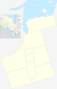
Greensborough is one of the easternmost communities in Markham, and with the exception of Dickson Hill, is also the northernmost. The community is situated just north of Markham Village (a heritage district along Main St. Markham), west of Cornell, and east of Mount Joy. It includes the area north of 16th Avenue, west of Ninth Line, south of Major MacKenzie Drive and east of Markham Road. Parts of the community's northern area remain uninhabited (as residential development continues).
- ^ Statistics Canada. "Census Tract Data". Retrieved 2008-06-16.

