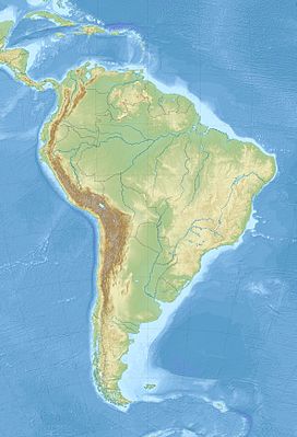
| Huanzo mountain range | |
|---|---|
 | |
| Highest point | |
| Peak | Waytani |
| Elevation | 5,430 m (17,810 ft) |
| Dimensions | |
| Length | 57 km (35 mi) |
| Geography | |
| Country | Peru |
| Region(s) | Apurímac Region, Arequipa Region, Ayacucho Region, Cusco Region |
| Range coordinates | 15°S 73°W / 15°S 73°W |
| Parent range | Andes |
The Huanzo mountain range (possibly from in the Quechua spelling Wansu) lies in the Andes of Peru. It extends between 14°30 and 15°01'S and 72°10 and 73°15W for about 57 km.[1][2] It is situated in the Apurímac Region, Antabamba Province, in the Arequipa Region, Castilla Province, La Unión Province, in the Ayacucho Region, Parinacochas Province, and in the Chumbivilcas Province of the Cusco Region.[3]
- ^ usgs.gov USGS, Peruvian Cordilleras (Note: Coordinates 72°50' might be wrong as Waych'awi is the highest mountain in the range according to this site.)
- ^ Inventario Nacional de Glaciares y Lagunas, Inventario de Glaciares del Perú, ANA (Autoridad Nacional del Agua), Huaraz 2014 (see sketch map of the Waych'awi glaciar under 'Cordillera Huanzo')
- ^ escale.minedu.gob.pe - UGEL maps La Unión Province (Arequipa Region) and of the Chumbivilcas Province (Cusco Region)


