Jarisha
جرِيشة Jerisha, Jarush | |
|---|---|
 Old mill at Jarisha, about 1917 | |
| Etymology: Jerisheh, from "to pound" or "grind"[1] | |
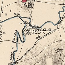
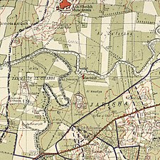
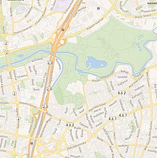
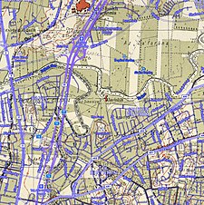
A series of historical maps of the area around Jarisha (click the buttons) | |
Location within Mandatory Palestine | |
| Coordinates: 32°5′43″N 34°48′28″E / 32.09528°N 34.80778°E | |
| Palestine grid | 132/167 |
| Geopolitical entity | Mandatory Palestine |
| Subdistrict | Jaffa |
| Area | |
• Total | 555 dunams (55.5 ha or 137 acres) |
| Population (1945) | |
• Total | 190[2][3] |
| Current Localities | Yarkon Park, Tel Aviv,[4] Ramat Gan |
Jarisha (Arabic: جرِيشة, also transliterated Jerisha; Hebrew: ג'רישה) was a Palestinian Arab village located 200 meters (660 ft) from the ancient site of Tell Jarisha (Tel Gerisa), on the south bank of Al-Awja (Yarkon River).[5][6] After the establishment of Tel Aviv, it was one of five Arab villages to fall within its municipal boundaries.[4] Jarisha was depopulated in the lead up to the 1948 Arab-Israeli war.[6]


