Jimzu
جمزو Gimzo | |
|---|---|
| Etymology: Sycamore[1] | |
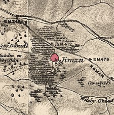
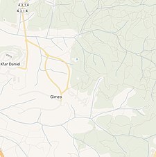
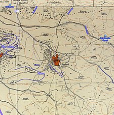
A series of historical maps of the area around Jimzu (click the buttons) | |
Location within Mandatory Palestine | |
| Coordinates: 31°55′51″N 34°56′47″E / 31.93083°N 34.94639°E | |
| Palestine grid | 145/148 |
| Geopolitical entity | Mandatory Palestine |
| Subdistrict | Ramle |
| Date of depopulation | 10 July 1948[4] |
| Area | |
• Total | 9,681 dunams (9.681 km2 or 3.738 sq mi) |
| Population (1945) | |
• Total | 1,510[2][3] |
| Cause(s) of depopulation | Military assault by Yishuv forces |
| Current Localities | Moshav Gimzo[5] |
Jimzu (Arabic: جمزو), also known as Gimzo (meaning "sycamore plantation"), was a Palestinian village, located three miles southeast of Lydda. Under the 1947 UN Partition Plan of Mandatory Palestine, Jimzu was to form part of the proposed Arab state.[6] During the 1948 Arab–Israeli War, the village was depopulated in a two-day assault by Israeli forces.
Under the 1949 Armistice Agreements, Jimzu's lands fell under the de facto governance of the newly created state of Israel. A year later, moshav Gimzo was established at the site of the former village and is now populated by 700 Israeli Jewish residents.
- ^ Palmer, 1881, p. 230
- ^ Department of Statistics, 1945, p. 29
- ^ a b Government of Palestine, Department of Statistics. Village Statistics, April, 1945. Quoted in Hadawi, 1970, p. 67
- ^ Morris, 2004, p. xix, village #230. Also gives cause of depopulation.
- ^ Khalidi, 1992, p. 387
- ^ Map of UN Partition Plan Archived 2009-01-24 at the Wayback Machine


