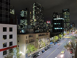
La Trobe Street Latrobe Street | |
|---|---|
 | |
| La Trobe Street at night, June 2010 | |
 | |
| General information | |
| Type | Street |
| Length | 2.4 km (1.5 mi) |
| Opened | 1839 |
| Former route number | |
| Major junctions | |
| West end | Harbour Esplanade Docklands, Melbourne |
| East end | Carlton, Melbourne |
| Location(s) | |
| Suburb(s) | Docklands, Melbourne CBD |
| ---- | |
La Trobe Street (also Latrobe Street[1]) is a major street and thoroughfare in the Melbourne central business district, Victoria, Australia. It runs roughly east–west and forms the northern boundary of the central business district. The street was laid out as an extension of the original Hoddle Grid in 1839 and was named after Charles La Trobe.[2] La Trobe Street extends from Victoria Street in the east to Harbour Esplanade in the west.
- ^ Register of Geographic Names, searchable online at[permanent dead link]
- ^ "Melbourne's Streets and Lanes" (PDF). History Victoria. Royal Historical Society of Victoria. Archived from the original (PDF) on 19 March 2018. Retrieved 16 January 2017.
