Back Tsjadmeer Afrikaans Laco Chad AN Ceadmere ANG بحيرة تشاد Arabic Llagu Chad AST Çad gölü Azerbaijani Чад (күл) Bashkir Чад (возера) Byelorussian Чад (возера) BE-X-OLD Чад (езеро) Bulgarian
| Lake Chad | |
|---|---|
 Lake Chad in 2018 | |
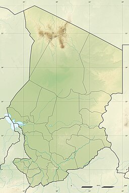
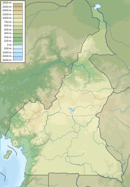
| Location | Sahelian zone at the conjunction of Chad, Cameroon, Nigeria, and Niger |
| Primary inflows | Chari River, Yobe River, Ngadda River |
| Primary outflows | Bahr el-Ghazal |
| Basin countries | Chad, Cameroon, Nigeria, Niger |
| Surface area | 2,000 km2 (770 sq mi) |
| Max. depth | 2 m (6 ft 7 in) |
| Islands | Bogomerom Archipelago |
| Settlements | |
| Official name | Lac Tchad |
| Designated | 17 June 2001 |
| Reference no. | 1072[1] |
| Official name | Partie tchadienne du lac Tchad |
| Designated | 14 August 2001 |
| Reference no. | 1134[2] |
| Official name | Lake Chad Wetlands in Nigeria |
| Designated | 30 April 2008 |
| Reference no. | 1749[3] |
| Official name | Partie Camerounaise du Lac Tchad |
| Designated | 2 February 2010 |
| Reference no. | 1903[4] |
Lake Chad (Arabic: بحيرة تشاد, Kanuri: Sádǝ, French: Lac Tchad) is an endorheic freshwater lake located at the junction of four countries: Nigeria, Niger, Chad, and Cameroon, in western and central Africa respectively, with a catchment area in excess of 1,000,000 km2 (390,000 sq mi). It is an important wetland ecosystem in West-Central Africa. The lakeside is rich in reeds and swamps, and the plain along the lake is fertile, making it an important irrigated agricultural area. The lake is rich in aquatic resources and is one of the important freshwater fish producing areas in Africa.
Lake Chad is divided into deeper southern parts and shallower northern parts. The water source of the lake mainly comes from rivers such as the Chari River that enter the lake. The water level varies greatly seasonally, and the area of the lake also changes dramatically. During the African humid period, the lake's area reached 400,000 km2 (150,000 sq mi). Due to the increasingly arid climate, the lake surface gradually shrank. In the 19th century, it still had an area of 28,000 km2 (11,000 sq mi). However, due to climate change and human water diversion, it has shrunk significantly since the mid-1970s, and its area has fluctuated between 2,000 and 5,000 km2 (770 and 1,930 sq mi).
- ^ "Lac Tchad". Ramsar Sites Information Service. Archived from the original on 23 June 2018. Retrieved 25 April 2018.
- ^ "Partie tchadienne du lac Tchad". Ramsar Sites Information Service. Archived from the original on 23 June 2018. Retrieved 25 April 2018.
- ^ "Lake Chad Wetlands in Nigeria". Ramsar Sites Information Service. Archived from the original on 23 June 2018. Retrieved 25 April 2018.
- ^ "Partie Camerounaise du Lac Tchad". Ramsar Sites Information Service. Archived from the original on 1 February 2020. Retrieved 25 April 2018.


