Back مايفيتسا Arabic Mayevisa Azerbaijani Majevica BS Majevica CEB Majevica Czech Majevica German Majevica Esperanto Majevica French Majevica Croatian Մաևիցա Armenian
This article needs additional citations for verification. (October 2021) |
You can help expand this article with text translated from the corresponding article in Serbian. (January 2016) Click [show] for important translation instructions.
|
| Majevica | |
|---|---|
 | |
| Highest point | |
| Peak | Stolice |
| Elevation | 916 m (3,005 ft) |
| Coordinates | 44°33′50″N 18°50′41″E / 44.56389°N 18.84472°E[1] |
| Dimensions | |
| Length | 50 km (31 mi) |
| Width | 25 km (16 mi) |
| Geography | |
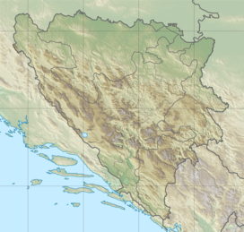
Majevica (Serbian Cyrillic: Мајевица, pronounced [mâjɛv̞it͡sa]) is a low mountain range in northeastern Bosnia and Herzegovina.[2] It is situated between Semberija, Posavina, and Tuzla Canton. Its highest peak is Stolice, some 16 kilometres east of Tuzla, in the far southeastern part of the range. Most of the range is located in the Federation of Bosnia and Herzegovina and part of it is in Republika Srpska. It is mostly forested.[3]
