Back Mitiaro Catalan Mitiaro (pulo sa Kapupud-ang Cook) CEB Mitiaro German Mitiaro Spanish Mitiaro Estonian میتیارو Persian Mitiaro Finnish Mitiaro French Mitiaro Galician מיטיארו HE
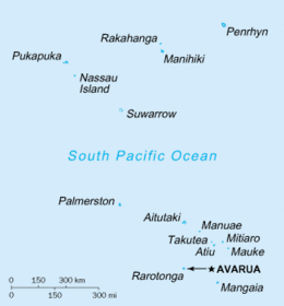
Mitiʻāro, the fourth island in the Cook Islands group, is of volcanic origin. Standing in water 14,750 feet (4,500 m) deep it is four miles (6.4 km) across at its widest point.

