| Montara Mountain | |
|---|---|
 | |
| Highest point | |
| Elevation | 1,901 ft (579 m) NAVD 88[1] |
| Prominence | 486 ft (148 m)[1] |
| Coordinates | 37°31′43″N 122°25′37″W / 37.5285501°N 122.4269189°W[2] |
| Geography | |
| Parent range | Santa Cruz Mountains |
| Topo map | USGS Montara Mountain |
| Climbing | |
| Easiest route | Hike |
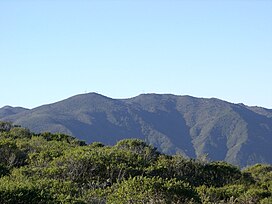
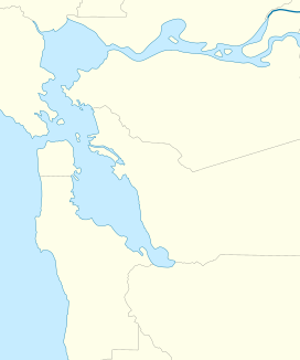
Montara Mountain, positioned between the unincorporated community of Montara, California, to the southwest and the city of Pacifica, California, to the north, forms the northern spur of the Santa Cruz Mountains, a narrow mountain range running the length of the San Francisco Peninsula that separates San Francisco Bay from the Pacific Ocean.[3] Its highest point rises to 1,898 feet (579 m)[1] above sea level. Montara and Pacifica are connected by the Tom Lantos Tunnels, which run through the Mountain.
- ^ a b c "Montara Mountain, California". Peakbagger.com. Retrieved August 9, 2009.
- ^ "Montara Mountain". Geographic Names Information System. United States Geological Survey, United States Department of the Interior. Retrieved August 9, 2009.
- ^ VanderWerf, p. 7.


