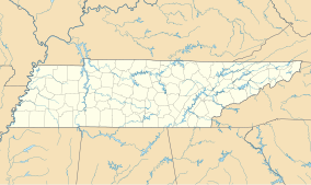
| Natchez Trace State Park | |
|---|---|
 | |
| Location | Western Tennessee |
| Nearest city | Wildersville |
| Coordinates | 35°47′11″N 88°15′49″W / 35.7863°N 88.2636°W |
| Area | 10,154 acres (41.09 km2) |
| Website | Natchez Trace State Park |
Natchez Trace State Park is a state park located in western Tennessee, in the United States. It was named for the historic Natchez Trace woodland path, an important wilderness trail during the late 18th and early 19th centuries. The park covers more than 48,000 acres (190 km2) and features several wilderness trails, camping, horseback riding, and waterfront activities.

