This article needs additional citations for verification. (April 2012) |
Serangoon | |
|---|---|
| Other transcription(s) | |
| • Malay | Serangoon (Rumi) سرڠݢون (Jawi) |
| • Chinese | 实龙岗 (Simplified) 實龍崗 (Traditional) Shílónggǎng (Pinyin) Si̍t-lêng-kong (Hokkien POJ) |
| • Tamil | சிராங்கூன் Cirāṅkūṉ (Transliteration) |
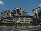
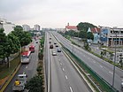
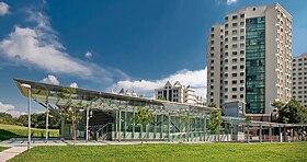
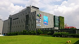
From top left to right: Terraced housing in Serangoon, HDB flats in Serangoon North, Serangoon Viaduct, Lorong Chuan MRT station, Nex | |
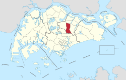 Location of Serangoon in Singapore | |
| Coordinates: 01°21′49″N 103°52′03″E / 1.36361°N 103.86750°E | |
| Country | |
| Region | North-East Region
|
| CDCs | |
| Town councils |
|
| Constituencies | |
| Government | |
| • Mayors | Central Singapore CDC
North East CDC South East CDC |
| • Members of Parliament | Aljunied GRC
Ang Mo Kio GRC Marine Parade GRC |
| Area | |
• Total | 10.1 km2 (3.9 sq mi) |
| • Residential | 1.63 km2 (0.63 sq mi) |
| Population | |
• Total | 117,630 |
| • Density | 12,000/km2 (30,000/sq mi) |
| Postal districts | 19, 28 |
| Dwelling units | 21,293 |
| Projected ultimate | 30,000 |
Serangoon (IPA: /səˈræŋguːn/ sə-RANG-goon) is a planning area and residential town located in the North-East Region of Singapore.
Serangoon is bordered by these planning areas – Sengkang to the north, Hougang to the east, Ang Mo Kio and Bishan to the west, as well as Toa Payoh to the south. Serangoon planning area has a total of seven subzones: Serangoon Central, Lorong Chuan, Upper Paya Lebar, Serangoon Garden, Serangoon North, Seletar Hills and Serangoon North Industrial Estate.[4]
- ^ a b "City Population – statistics, maps and charts | Serangoon". Archived from the original on 15 August 2019. Retrieved 20 June 2023.
- ^ a b HDB Key Statistics FY 2014/2015 Archived 4 March 2016 at the Wayback Machine
- ^ "Statistics Singapore - Geographic Distribution - Latest Data". Retrieved 10 January 2025.
- ^ "Archived copy" (PDF). Archived from the original (PDF) on 5 March 2016. Retrieved 24 October 2015.
{{cite web}}: CS1 maint: archived copy as title (link)


