| Siege of Bergen op Zoom (1814) | |||||||
|---|---|---|---|---|---|---|---|
| Part of the War of the Sixth Coalition | |||||||
 British illustration of the attack | |||||||
| |||||||
| Belligerents | |||||||
|
|
| ||||||
| Commanders and leaders | |||||||
|
|
| ||||||
| Strength | |||||||
| 2,700[1] | 4,000–9,000[1] | ||||||
| Casualties and losses | |||||||
| 500–600[1] killed, wounded, or captured |
920–1,900 killed and wounded[1] 2,263 captured[2] | ||||||
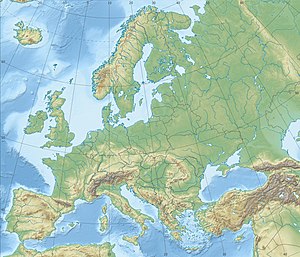
Location within Europe | |||||||
War of the Sixth Coalition:
Campaign Low Countries 1814
Campaign Low Countries 1814
The color black indicates the current battle.
The siege of Bergen op Zoom (8 March 1814), took place during the War of the Sixth Coalition between a British force led by Thomas Graham, 1st Baron Lynedoch and a French garrison under Guilin Laurent Bizanet and Jean-Jacques Ambert. The initial British assault force seized part of the defences, but a well-managed French counterattack compelled much of the assault force to surrender. Bergen op Zoom is a port in the Netherlands about 70 kilometres (43 mi) south of Rotterdam and 40 kilometres (25 mi) north of Antwerp in Belgium.
- ^ a b c d e f Bodart 1908, p. 477.
- ^ Burnham & McGuigan 2010, p. 216.


