| The Battlefords Provincial Park | |
|---|---|
| Location | |
| Nearest city | North Battleford |
| Coordinates | 53°07′03″N 108°22′27″W / 53.1176°N 108.3743°W |
| Established | 1960 |
| Governing body | Saskatchewan Parks |
 | |
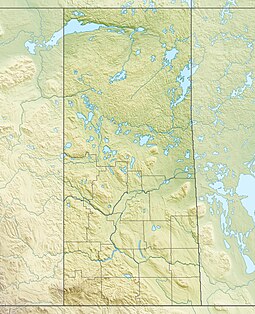
The Battlefords Provincial Park[1] is a recreational provincial park in the Canadian Province of Saskatchewan. It is about 39 kilometres (24 mi) north of the city of North Battleford in the RM of Meota No. 468 on Jackfish Lake.[2] Highway 4 runs north from North Battleford to the park and Highway 204 runs through the park providing access to the amenities.[3]
The park is set in forested, rolling hills on Robinson Bay at the north-east corner of Jackfish Lake. Bayview Heights is a hamlet at the northern end of the park and the resort villages of Cochin (to the south) and Aquadeo (to the north) are on either side of the park.[4]
- ^ "The Battlefords Provincial Park". Canadian Geographical Names Database. Government of Canada. Retrieved 8 June 2022.
- ^ "Jackfish Lake". Canadian Geographical Names Database. Government of Canada. Retrieved 8 June 2022.
- ^ Shaheen, Steve (20 May 2022). "May Long Weekend Marks Unofficial Start to Highway Construction Season". Saskatchewan. Government of Saskatchewan. Retrieved 8 June 2022.
- ^ "Provincial Parks". The Encyclopedia of Saskatchewan. University of Regina. Retrieved 20 September 2022.


