Back Verde Island Passage CEB Isla-Verde-Straße German Pasaje de la Isla Verde Spanish ベルデ島水路 Japanese Verdes salas šaurums Latvian/Lettish Verde Island Passage Dutch Aragian han Isla Verde WAR
This article has multiple issues. Please help improve it or discuss these issues on the talk page. (Learn how and when to remove these messages)
|
| Verde Island Passage | |
|---|---|
 The strait seen from Brgy. Pagkilatan in Batangas City | |
| Location | |
| Coordinates | 13°34′31″N 120°52′3″E / 13.57528°N 120.86750°E |
| Type | strait |
| Etymology | Verde Island |
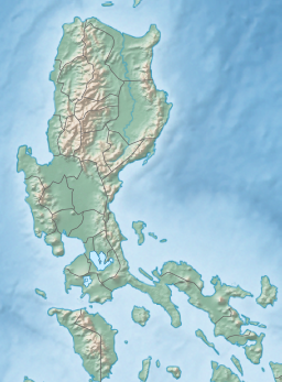
The Verde Island Passage is a strait that separates the islands of Luzon and Mindoro in the Philippines, connecting the South China Sea with the Tayabas Bay and the Sibuyan Sea beyond. Traditionally, the sea lane has been one of the busiest in the Philippines because it acts as a corridor from the Port of Manila to the Visayas and Mindanao in the south.[1] A network of ferry routes cross the passage and connect the surrounding provinces of Batangas, Marinduque, Occidental Mindoro, Oriental Mindoro and Romblon.[1] The Verde Island Passage is identified as a site of highest marine biodiversity importance in the Coral Triangle.[2] The 1.14 million hectare passage is extremely rich in marine biodiversity and has been called "Center of the Center of Marine Shorefish Biodiversity" with various conservation groups and local government units pushing for its nomination as a UNESCO World Heritage Site.[1][3]


- ^ a b c Philippines Government (n.d.). "VERDE ISLAND PASSAGE MARINE PROTECTED AREA NETWORK AND LAW ENFORCEMENT NETWORK MOA SIGNING". GOV.PH. Philippines Government. Retrieved March 24, 2022.
- ^ Asaad, Irawan; Lundquist, Carolyn J.; Erdmann, Mark V.; Costello, Mark J. (June 2018). "Delineating priority areas for marine biodiversity conservation in the Coral Triangle". Biological Conservation. 222 (2): 198–211. Bibcode:2018BCons.222..198A. doi:10.1016/j.biocon.2018.03.037.
- ^ "Declaration of Verde Island Passage as World Heritage Site sought". Philippine News Agency.

