Yalo
يالو Yalu | |
|---|---|
Village | |
| Etymology: From Hebrew Ajalon, "Place of the fallow deer"[1] | |
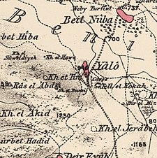
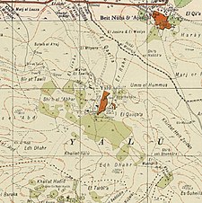
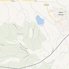
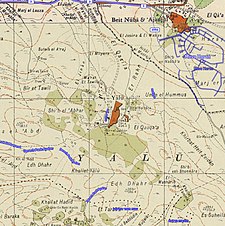
A series of historical maps of the area around Yalo (click the buttons) | |
Location within Mandatory Palestine | |
| Coordinates: 31°50′31″N 35°01′24″E / 31.84194°N 35.02333°E | |
| Palestine grid | 152/138 |
| Geopolitical entity | Mandatory Palestine |
| Subdistrict | Ramle |
| Date of depopulation | 7 June 1967 |
| Area | |
• Total | 14,992 dunams (14.992 km2 or 5.788 sq mi) |
| Population (1961) | |
• Total | 1,644 |
| Cause(s) of depopulation | Expulsion by Israeli forces |
| Current Localities | Canada Park |
Yalo (Arabic: يالو, also transliterated Yalu) is a depopulated Palestinian Arab village located 13 kilometres southeast of Ramla.[2] Identified by Edward Robinson as the ancient Canaanite and Israelite city of Aijalon.[2][3] During the Middle Ages, it was the site of a Crusader castle, Castrum Arnaldi.
Following the 1948 Arab-Israeli War, Jordan annexed the West Bank, including the village of Yalo.[4] Yalo's population increased dramatically owing to an influx of Palestinian refugees from neighbouring towns and villages depopulated during the war.
During the 1967 Six Day War, Israeli troops ethnically cleansed[5][6][7][8] Yalo and the village structures were eradicated. Yalo and the area surrounding Latrun were unilaterally annexed by Israel.[9][10] Subsequently, with donations from Canadian benefactors, the Jewish National Fund built a recreational space, Canada Park, which contains the former sites of Yalo and two other neighbouring villages, Dayr Ayyub and Imwas.[11][12]
- ^ Palmer, 1881, p. 338
- ^ a b "Welcome to Yalu". Palestine Remembered. Retrieved 2008-08-27.
- ^ Robinson and Smith, 1841, vol 3, pp. 80-81
- ^ BADIL Occasional Bulletin No. 18 (June 2004). "From the 1948 Nakba to the 1967 Naksa". Badil. Archived from the original on 2008-05-09. Retrieved 2008-08-27.
{{cite web}}: CS1 maint: numeric names: authors list (link) - ^ Mundinger, Ulla. "Walking on Ruins: The Untold Story of Yalu." Jerusalem Quarterly 69 (2017): 22.
- ^ Davis, U. (2004). APARTHEID ISRAEL AND THE JEWISH NATIONAL FUND OF CANADA.
- ^ Petersen, Kim. "Canada: The Honest Broker?."
- ^ Kanj, Jamal Krayem. Children of catastrophe: Journey from a Palestinian refugee camp to America. Garnet Publishing Ltd, 2010.
- ^ Keinon, H. "Palestinians campaign to regain occupied Latrun". Jerusalem Post.
- ^ "Palestinian Emigration and Israeli Land Expropriation in the Occupied Territories". Journal of Palestine Studies. 3 (1). University of California Press on behalf of the Institute for Palestine Studies: 106–118. Autumn 1973. doi:10.1525/jps.1973.3.1.00p0131i. JSTOR 2535530.
- ^ Palestine Remembered
- ^ John Dirlik (October 1991). ""Canada Park" Built on Ruins of Palestinian Villages". Retrieved 2008-08-27.
{{cite journal}}: Cite journal requires|journal=(help)


