Back Erp (lungsod sa Olandres) CEB Erp, Netherlands English Erp (Meierijstad) Dutch Erp (Holandia) Polish Erp (Meierijstad) ZH-MIN-NAN
| Erp | ||||
 Héraldique |
 Drapeau |
|||
| Administration | ||||
|---|---|---|---|---|
| Pays | ||||
| Commune | Meierijstad | |||
| Province | Brabant-Septentrional | |||
| Code postal | 5469 | |||
| Indicatif téléphonique international | +(31) | |||
| Démographie | ||||
| Population | 6 743 hab. (2015) | |||
| Géographie | ||||
| Coordonnées | 51° 36′ 01″ nord, 5° 36′ 19″ est | |||
| Localisation | ||||
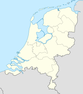
| Géolocalisation sur la carte : Pays-Bas
Géolocalisation sur la carte : Pays-Bas
Géolocalisation sur la carte : Brabant-Septentrional
| ||||
| modifier |
||||
Erp est un bourg situé dans la commune néerlandaise de Meierijstad, dans la province du Brabant-Septentrional. Le , le bourg comptait 6 743 habitants[1]. Erp est situé entre deux grandes villes, Bois-le-Duc et Eindhoven.
Le , la commune d'Erp est rattachée à la commune de Veghel. Le , la commune de Veghel est rattachée à la commune de Meierijstad.
-
Église Saint-Servatius, construit par A. van Veggel en 1843-44, classé monument national depuis 1972.
-
Ancien Hôtel de ville d'Erp, construit par Verhees en 1791, classé monument national depuis 1973.
- ↑ « Population per centre as of 01-01-2015 », Municipality of Veghel, (lire en ligne, consulté le )


