Back جزيرة الحرية Arabic Liberti adası Azerbaijani Востраў Свабоды Byelorussian लिबर्टी दीप Bihari Enez Liberty Breton Liberty Island Catalan Liberty Island (pulo sa Tinipong Bansa, New York) CEB Liberty Island Czech Liberty Island Danish Liberty Island German
| Liberty Island | ||||
 Vue aérienne de Liberty Island avec la statue de la Liberté. | ||||
| Géographie | ||||
|---|---|---|---|---|
| Pays | ||||
| Localisation | Upper New York Bay | |||
| Coordonnées | 40° 41′ 24″ N, 74° 02′ 42″ O | |||
| Superficie | 0,059 558 km2 | |||
| Géologie | Île continentale artificialisée | |||
| Administration | ||||
| Statut | Monument national de la statue de la Liberté | |||
| État | ||||
| Comté | ||||
| Ville | ||||
| Démographie | ||||
| Population | Aucun habitant | |||
| Nom du Bien | Statue of Liberty | |||
| Numéro d’identification |
307 | |||
| Année d’inscription | ||||
| Critères | (i) (d) et (vi) (d) | |||
| Autres informations | ||||
| Découverte | Préhistoire | |||
| Fuseau horaire | UTC-5 | |||
| Site officiel | (en) State Park of Liberty Island | |||
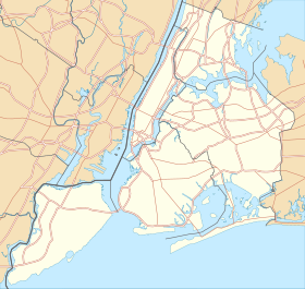
| Géolocalisation sur la carte : New York
Géolocalisation sur la carte : État de New York
Géolocalisation sur la carte : États-Unis
| ||||
| Île aux États-Unis | ||||
| modifier |
||||
Liberty Island est une île inhabitée de la Upper New York Bay (« baie supérieure de New York », partie septentrionale de la baie de New York), sur laquelle est érigée la statue de la Liberté. Sa superficie est de 6 ha.


