Back Staphorst Afrikaans ستابهورست Arabic Staphorst Catalan Gemeente Staphorst CEB Staphorst (Overijssel) German Staphorst English Staphorst Esperanto Staphorst Spanish Staphorst Basque استاپهورست Persian
| Staphorst | ||||
 Armoiries. |
 Drapeau. |
|||
 Mairie de Staphorst en 2006. | ||||
| Administration | ||||
|---|---|---|---|---|
| Pays | ||||
| Province | Overijssel | |||
| Code postal | 7715, 7950-7955 | |||
| Indicatif téléphonique international | +(31) | |||
| Démographie | ||||
| Population | 15 836 hab. | |||
| Densité | 117 hab./km2 | |||
| Géographie | ||||
| Coordonnées | 52° 38′ 00″ nord, 6° 12′ 00″ est | |||
| Superficie | 13 570 ha = 135,70 km2 | |||
| Localisation | ||||

| ||||
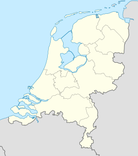
| Géolocalisation sur la carte : Pays-Bas
Géolocalisation sur la carte : Pays-Bas
Géolocalisation sur la carte : Overijssel
| ||||
| Liens | ||||
| Site web | www.staphorst.nl | |||
| modifier |
||||
Staphorst est une commune et un village néerlandais, en province d'Overijssel.
Les autres villages sont IJhorst, Punthorst et Rouveen.


