Back Probinsya nin Gandaki BCL गंडकी प्रदेश Bihari গণ্ডকী প্রদেশ Bengali/Bangla Gandaki (il) CRH Gandakí Czech Provinz Gandaki German गण्डकी प्रदेश DTY Gandaki Province English Provinco Gandaki Esperanto Provincia de Gandaki Spanish
Gandaki Province
गण्डकी प्रदेश Gandaki Province | |
|---|---|
|
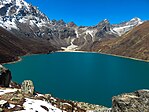
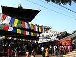
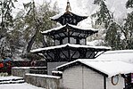
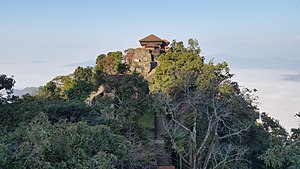
From Top left to right Annapurna, Phewa Lake, Upper Mustang, Tilicho Lake, Manakamana Temple, Muktinath Temple, Machapuchare and Gorkha Durbar | |
 | |
Map of Gandaki Province, Nepal | |
| Coordinates: 28°12′34″N 83°59′29″E / 28.20944°N 83.99139°E | |
| Country | |
| Formation | 20 September 2015 |
| Capital city | Pokhara |
| Largest city | Pokhara |
| Districts | 11 |
| Government | |
| • Type | Self governing province |
| • Body | Government of Gandaki Province |
| • Governor | Prithvi Man Singh Gurung |
| • Chief Minister | Krishna Chandra Nepali (NC) |
| • High Court | Pokhara High Court |
| • Provincial Assembly | Unicameral (60 seats) |
| • Parliamentary constituencies | 18 |
| Area | |
| • Total | 21,504 km2 (8,303 sq mi) |
| • Rank | 4th |
| Population (2021) | |
| • Total | 2,479,745 |
| • Rank | 6th |
| • Density | 120/km2 (300/sq mi) |
| • Rank | 6th |
| Time zone | UTC+5:45 (NST) |
| Geocode | NP-FO |
| Official language | Nepali/Khas kura |
| Other Official language(s) | 1.Gurung 2.Magar |
| HDI | |
| HDI rank | 2nd |
| Literacy | 74.81% |
| Sex ratio | 83.84 ♂ /100 ♀ (2011) |
| GDP | 3.12 billion USD |
| GDP rank | 5th |
| Website | gandaki |
Gandaki Province (Nepali: गण्डकी प्रदेश [ɡʌɳɖʌki]), is one of the seven federal provinces of Nepal. It was established by the current constitution of Nepal. The province consists of 11 districts in total. [1]
- ↑ Breeze, Adventure Treks. "Upper Mustang".


