| Halle Range | |
|---|---|
| Hallebjergene | |
 Map of Clavering Island (Eskimonaes) and neighbouring areas | |
| Highest point | |
| Peak | Bramsen Bjerg |
| Elevation | 1,272 m (4,173 ft) |
| Dimensions | |
| Length | 20 km (12 mi) NW/SE |
| Width | 15 km (9.3 mi) NE/SW |
| Area | 300 km2 (120 sq mi) |
| Geography | |
| Country | Greenland |
| Range coordinates | 74°14′N 21°45′W / 74.233°N 21.750°W |
| Geology | |
| Rock age | Upper Carboniferous[1] |
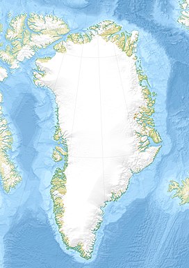
The Halle Range or Halle Mountains (Danish: Hallebjergene)[2] is a mountain range in Clavering Island, King Christian X Land, northeastern Greenland. Administratively this range is part of the Northeast Greenland National Park zone.
The range was named by Lauge Koch during his 1929–30 expedition after Thore Gustav Halle (1884–1964), a professor at the University of Stockholm who had worked on the plant samples brought by the expedition. Formerly it had been also known as Joh. H. Andresenfjellet.[3]
- ^ Druid Wilson,Geologic Names of North America, Parts 1-2, p. 610
- ^ "Hallebjergene". Mapcarta. Retrieved 22 June 2016.
- ^ "Catalogue of place names in northern East Greenland". Geological Survey of Denmark. Retrieved 18 June 2016.

