Back Bodenmeer Afrikaans Bodensee ALS ኮንስታንጽ ሃይቅ Amharic Laco de Gostanza AN بحيرة كونستانس Arabic بحيره كونستانس ARZ Boden gölü Azerbaijani Боден күле Bashkir Bodnsee BAR Бодэнскае возера Byelorussian
| Lake Constance | |
|---|---|
| Bodensee (German) | |
 Satellite image | |
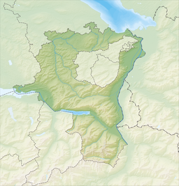
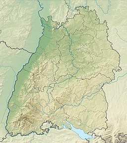
 Map | |
| Location | Germany, Switzerland, Austria |
| Coordinates | 47°35′N 9°28′E / 47.583°N 9.467°E |
| Type | glacial lake |
| Part of | Rhine |
| Primary inflows | Alpine Rhine |
| Primary outflows | High Rhine |
| Catchment area | 11,500 km2 (4,400 sq mi)[1] |
| Basin countries | Germany, Switzerland, Austria[2][3] |
| Max. length | 63 km (39 mi)[1] |
| Max. width | 14 km (8.7 mi)[1] |
| Surface area | 536 km2 (207 sq mi)[1] |
| Average depth | 90 m (300 ft) |
| Max. depth | 251 m (823 ft)[1] |
| Water volume | 48 km3 (12 cu mi; 39,000,000 acre⋅ft)[1] |
| Residence time | 4.3 years |
| Shore length1 | 273 km (170 mi)[1] |
| Surface elevation | 395 m (1,296 ft) |
| Frozen | 1795, 1830, 1880 (partial), 1963 |
| Islands | |
| Sections/sub-basins | |
| Settlements | see list |
| References | [1][2][3][4][5] |
 | |
| 1 Shore length is not a well-defined measure. | |
Lake Constance (German: Bodensee, pronounced [ˈboːdn̩zeː] ⓘ) refers to three bodies of water on the Rhine at the northern foot of the Alps: Upper Lake Constance (Obersee), Lower Lake Constance (Untersee), and a connecting stretch of the Rhine, called the Seerhein (lit. 'Rhine of the lake(s)'). These waterbodies lie within the Lake Constance Basin (Bodenseebecken) in the Alpine Foreland through which the Rhine flows.[2][3] The nearby Mindelsee is not considered part of Lake Constance. The lake is situated where Germany, Switzerland, and Austria meet. Its shorelines lie in the German states of Baden-Württemberg and Bavaria; the Swiss cantons of St. Gallen, Thurgau, and Schaffhausen; and the Austrian state of Vorarlberg. The actual locations of the country borders within the lake are disputed.
The Alpine Rhine forms, in its original course (Alter Rhein), the Austro-Swiss border and flows into the lake from the south. The High Rhine flows westbound out of the lake and forms (with the exception of the Canton of Schaffhausen, Rafzerfeld and Basel-Stadt) the German-Swiss border as far as to the city of Basel.[4][5] The Leiblach forms the Austria–Germany border east of the lake.
The most populous towns on the Upper Lake are Constance (German: Konstanz), Friedrichshafen, Bregenz, Lindau, Überlingen and Kreuzlingen. The largest town on the Lower Lake is Radolfzell. The largest islands are Reichenau in the Lower Lake, and Lindau and Mainau in the Upper Lake. Bodanrück, a large peninsula, separates the Upper and Lower Lake.
While in English and in the Romance languages, the lake is named after the city of Constance, the German name derives from the village of Bodman (municipality of Bodman-Ludwigshafen), in the northwesternmost corner of the lake.
- ^ a b c d e f g h Cite error: The named reference
datawas invoked but never defined (see the help page). - ^ a b c "Schweiz Suisse Svizzera Svizra" (Map). Bodensee (2014 ed.). 1:500 000. National Map 1:500'000. Wabern, Switzerland: Federal Office of Topography – swisstopo. ISBN 978-3-302-00070-1. Retrieved 28 February 2018 – via map.geo.admin.ch.
- ^ a b c "WMS LGL-BW ATKIS Digitale Topographische Karte 1:50 000 Farbkombination" (Map). Bodensee. 1:50 000. Stuttgart, Germany: Landesamt für Geoinformation und Landentwicklung Baden-Württemberg. 20 December 2017. Retrieved 1 March 2018 – via www.geoportal-bw.de Geoportal Baden-Württemberg.
- ^ a b "28 – Bodensee" (Map). Bodensee (2010 ed.). 1:100 000. National Map 1:100'000. Wabern, Switzerland: Federal Office of Topography – swisstopo. 2008. ISBN 978-3-302-00028-2. Retrieved 28 February 2018 – via map.geo.admin.ch.
- ^ a b "28bis - Lindau" (Map). Lindau (2010 ed.). 1:100 000. National Map 1:100'000. Wabern, Switzerland: Federal Office of Topography – swisstopo. 2008. ISBN 978-3-302-10028-9. Retrieved 28 February 2018 – via map.geo.admin.ch.


