Mohammadpur Thana
মোহাম্মদপুর থানা | |
|---|---|
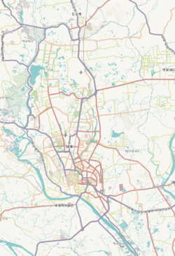
 Expandable map of vicinity of Mohammadpur Thana | |
| Coordinates: 23°45′59″N 90°21′31″E / 23.76639°N 90.35863°E | |
| Country | |
| Division | Dhaka Division |
| District | Dhaka District |
| Established as a thana | 1976 |
| Area | |
• Total | 8.23 km2 (3.18 sq mi) |
| Elevation | 23 m (75 ft) |
| Population | |
• Total | 527,771 |
| • Density | 47,828/km2 (123,870/sq mi) |
| Time zone | UTC+6 (BST) |
| Postal code | 1207[3] |
| Area code | 02[4] |
Mohammadpur (Bengali: মোহাম্মদপুর) is a thana of Dhaka, Bangladesh. Although initially Mohammadpur had grown as a residential area, subsequent commercial places have also been developed as well.


- ^ "Geographic coordinates of Dhaka, Bangladesh". DATEANDTIME.INFO. Retrieved 7 July 2016.
- ^ National Report (PDF). Population and Housing Census 2022. Vol. 1. Dhaka: Bangladesh Bureau of Statistics. November 2023. p. 386. ISBN 978-9844752016.
- ^ "Bangladesh Postal Code". Dhaka: Bangladesh Postal Department under the Department of Posts and Telecommunications of the Ministry of Posts, Telecommunications and Information Technology of the People's Republic of Bangladesh. 19 October 2024.
- ^ "Bangladesh Area Code". China: Chahaoba.com. 18 October 2024.


