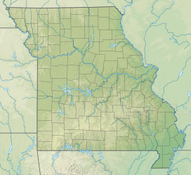
| Taum Sauk Mountain State Park | |
|---|---|
 Mina Sauk Falls during wet weather | |
| Location | Iron and Reynolds counties, Missouri, United |
| Coordinates | 37°34′17″N 90°43′45″W / 37.57139°N 90.72917°W[1] |
| Area | 8,395.07 acres (3,397.36 ha)[2] |
| Elevation | 1,772 ft (540 m)[1] |
| Established | 1991[3] |
| Administered by | Missouri Department of Natural Resources |
| Visitors | 42,042 (in 2023)[2] |
| Website | Official website |
Taum Sauk Mountain State Park is a Missouri state park located in the St. Francois Mountains in the Ozarks. The park encompasses Taum Sauk Mountain, the highest point in the state.[4] The Taum Sauk portion of the Ozark Trail connects the park with nearby Johnson's Shut-ins State Park[5] and the Bell Mountain Wilderness Area, which together are part of a large wilderness area popular with hikers and backpackers.
- ^ a b "Taum Sauk Mountain". Geographic Names Information System. United States Geological Survey, United States Department of the Interior.
- ^ a b Cite error: The named reference
parkdatawas invoked but never defined (see the help page). - ^ Cite error: The named reference
acquisitionwas invoked but never defined (see the help page). - ^ Cite error: The named reference
parkswas invoked but never defined (see the help page). - ^ Cite error: The named reference
associationwas invoked but never defined (see the help page).


